


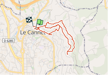

5.3 km | 7.3 km-effort


User


FREE GPS app for hiking
 SityTrail
IGN / Geographical institutes
SityTrail World
The world is yours!
Trail Walking of 4.8 km to be discovered at Provence-Alpes-Côte d'Azur, Maritime Alps, Le Cannet. This trail is proposed by GrouGary.
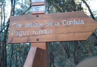
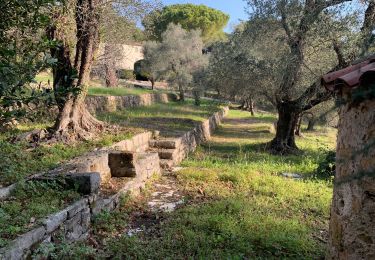
Parcours au départ de l'église du Vieux Cannet pour découvrir l'atmosphère, les paysages du Cannet et les lieux familiers du peintre Pierre Bonnard.
Ses œuvres sont détaillées au endroit clef sous forme de lutrins.


Cycle
On foot

Mountain bike

sport
Mountain bike

Walking
Walking
Walking
Walking
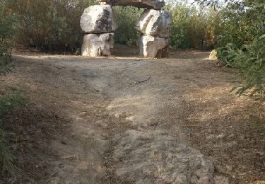
A little hard to follow.